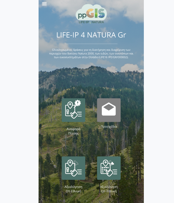
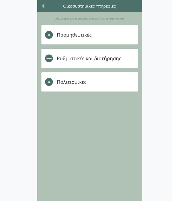
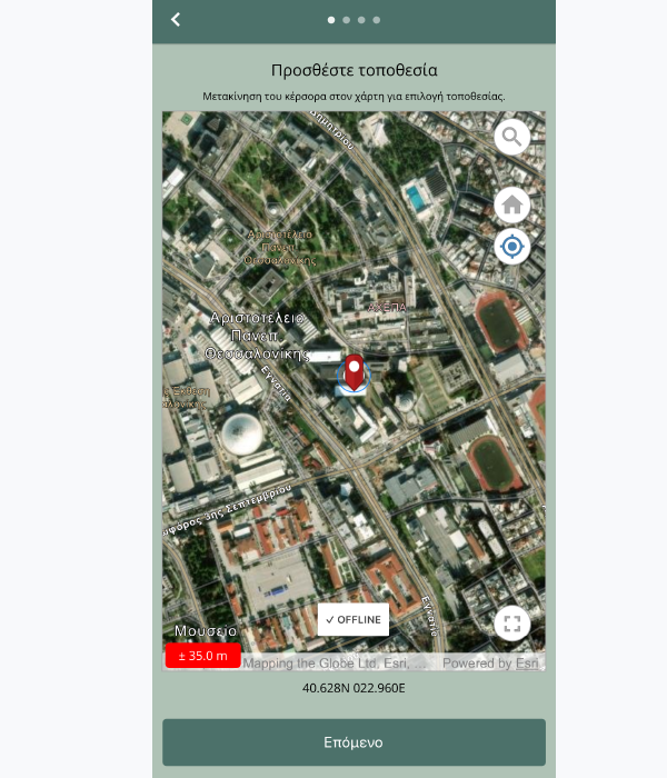
We provide custom-build solutions
Applications
Dolores sit ipsum velit purus aliquet, massa fringilla leo orci. Lorem ipsum dolor sit amet elit magnis nulla.
KIKLO provides integrated custom-build solutions to complex geospatial challenges. Our expertise include:
Products
Our process
We design, build and support clients worldwide. We make your idea stand out.
Product Presentation
We help businesses of all sizes to increase visibility, drive more traffic and improve commercial success
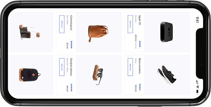
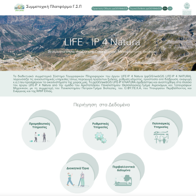
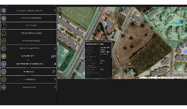
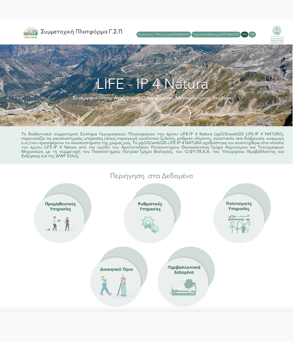
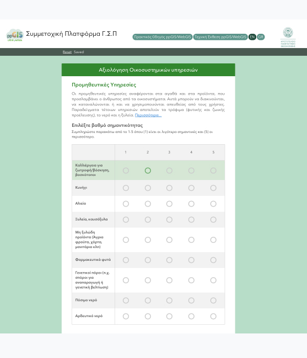
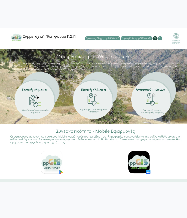
Presentation app
Create a fast-loading website and offer the best experience
App is fully customizable and features modern and responsive designs that will fit in with any type of website design. Because it’s automatically optimized for mobile, your images will look great no matter what device they’re being viewed on.


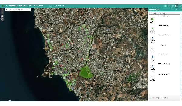
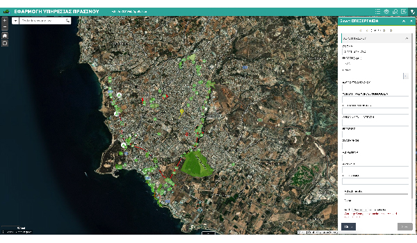
Image comparison
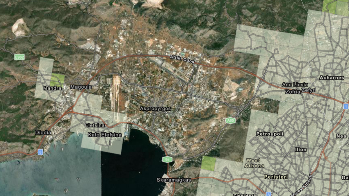 Satellite
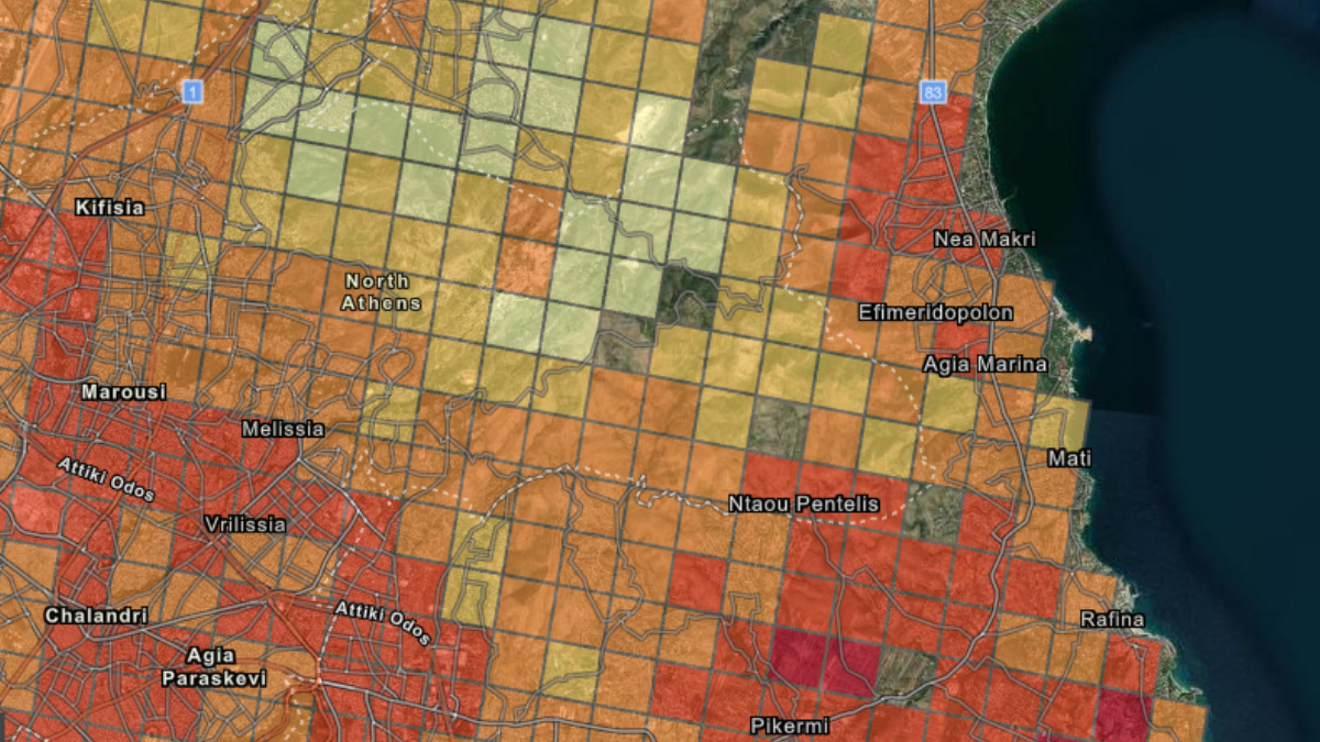 Map
MapChoose your product type
Surrounded by smart, passionate people and with the best tools and approaches at your disposal
Website building made easy, simple & fast. Build a startup with a small team.
Customize the framework to match your small business processes using simple drag-and-drop tools.
Everything you need to grow your business. Order our services today!
Get started with this mind-blowing theme filled of options. Welcome your visitors with elegance and flexibility.
Build better business software a lot quicker with LeadEngine
1. Lifetime updates
Tincidunt elit magnis nulla facilisis. Dolor sagittis maecenas. Sapien nunc amet ultrices, dolores sit ipsum velit purus aliquet, massa fringilla leo orci.
2. Optimized for speed
Tincidunt elit magnis nulla facilisis. Dolor sagittis maecenas. Sapien nunc amet ultrices, dolores sit ipsum velit purus aliquet, massa fringilla leo orci.
3. Elite author
Tincidunt elit magnis nulla facilisis. Dolor sagittis maecenas. Sapien nunc amet ultrices, dolores sit ipsum velit purus aliquet, massa fringilla leo orci.
Template Images
Lorem ipsum dolor sit amet, consectetur adipisicing elit. Corporis vel, ipsam repellendus.
