GIS is a multidisciplinary field that encompasses a wide range of services and applications across various industries.
The technology and tools to maintain organize and analyze information with spatial reference are focused on building and maintaining Geographic Information Systems (GIS)
In this context, we have the experience to acquire user needs, assemble the user requirements, design the geospatial databases, and design and implement the required user interfaces to meet the user requirements. In addition, we provide training for specialized and non-users as well as support for the systems we have implemented with the aim of providing comprehensive GIS services.
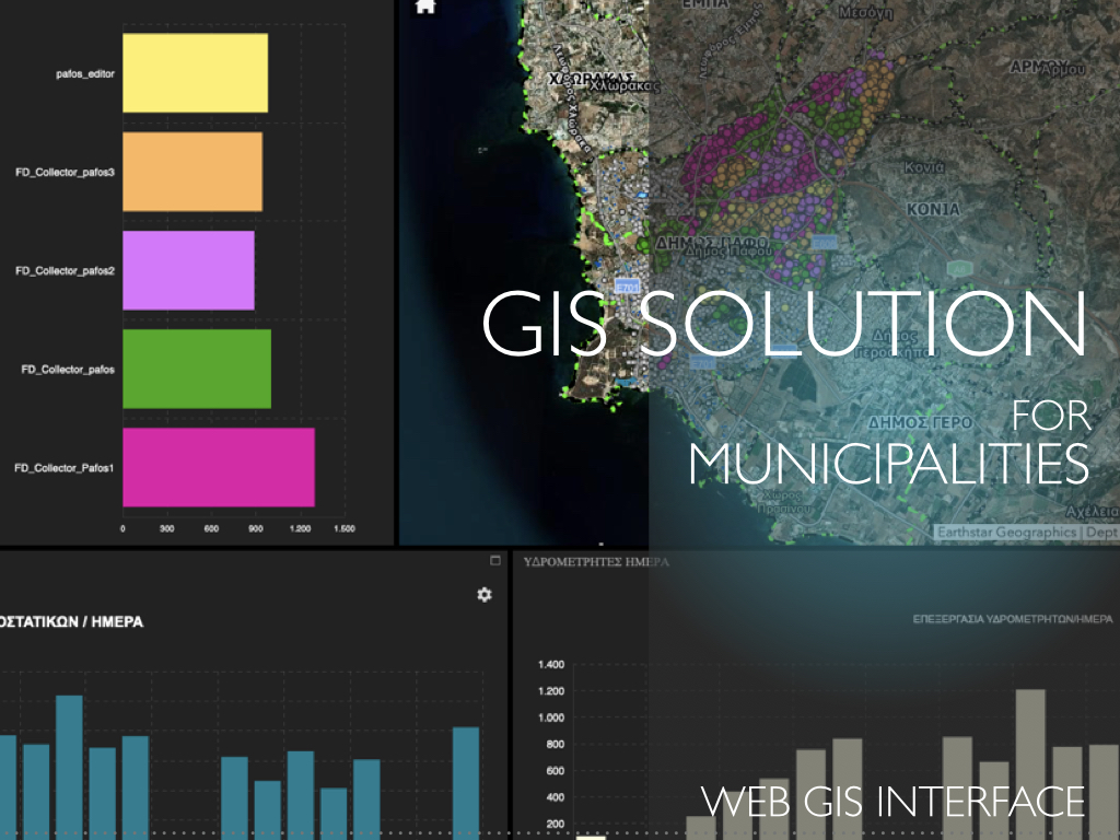
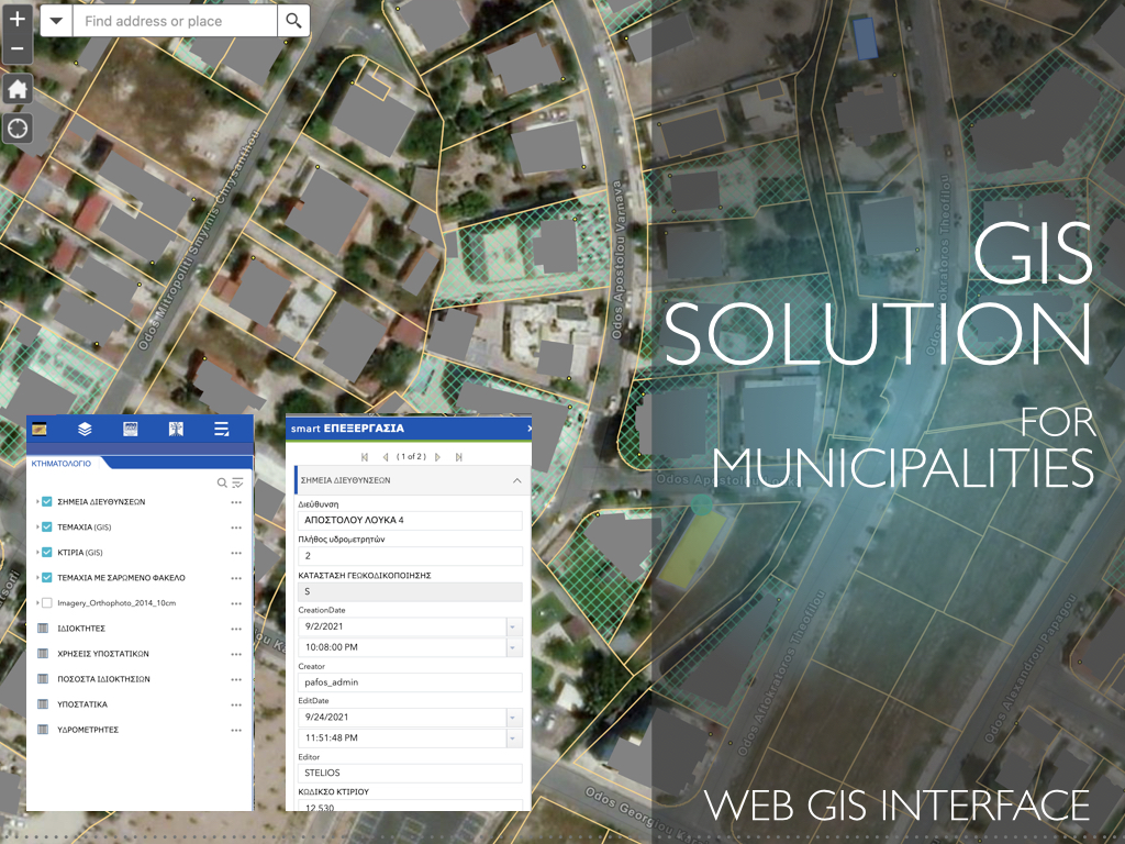
KIKLO designed and developed a Unified GIS Solution for Municipalities
that incorporates database infrastructure with migration automation tools and user interfaces to manage the daily, biweekly, and monthly processes of the departments such as Technical Services, Economic department, Citizens Service Office, Green Service, Cleaning Service, Traffic law Service etc. Tools that were implemented provide the end-user the ability to update and maintain data using Web GIS Interface and mobile GIS applications.
Spatial Analysis involves various techniques
such as proximity analysis, overlay analysis, and spatial modeling to understand patterns and relationships in geographical data.
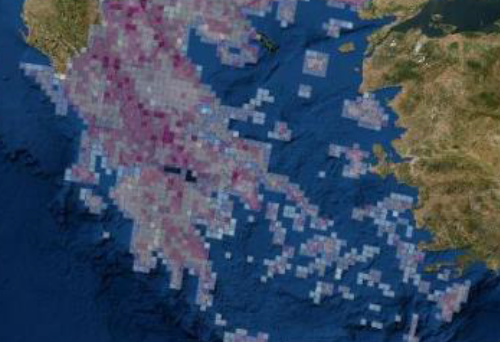
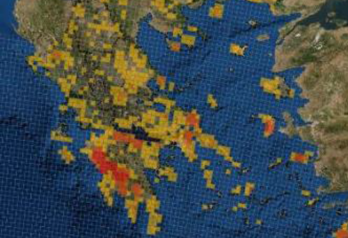
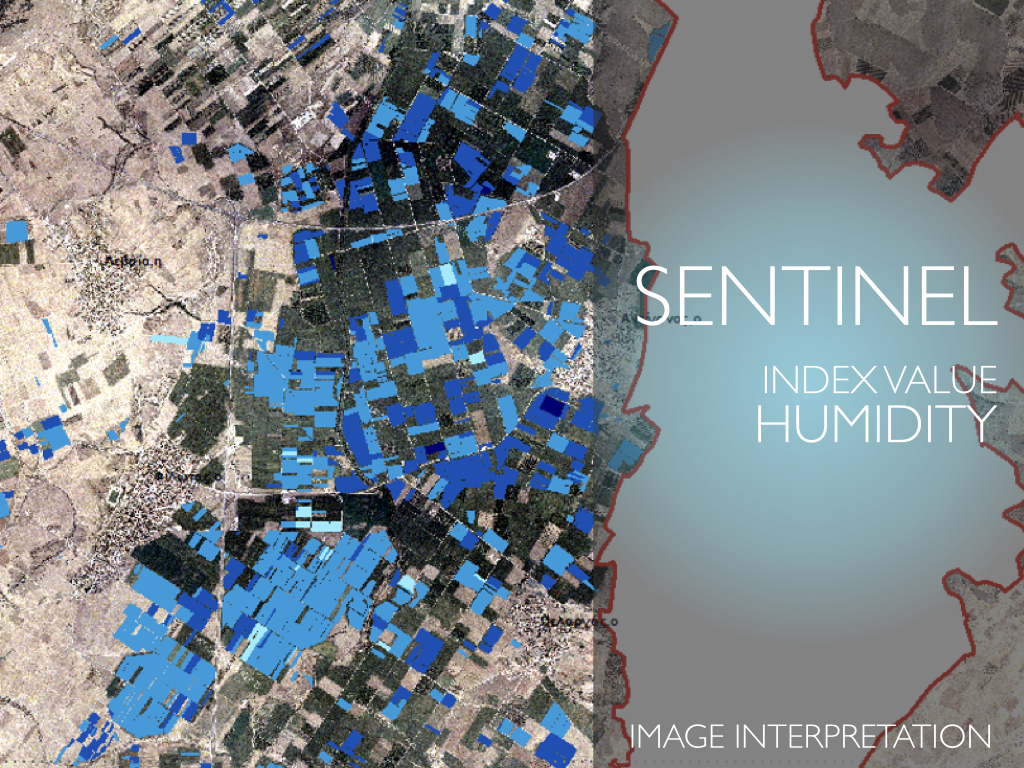
In this context we have used the GIS for
environmental management, managing natural resources, tracking environmental changes, and assessing human activities on the environment. Furthermore, in the field of disaster management GIS is used for disaster preparedness, response, and recovery. It helps in identifying vulnerable areas, managing resources during emergencies, and assessing damage post-disaster.
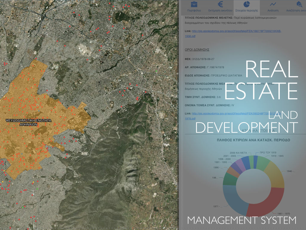
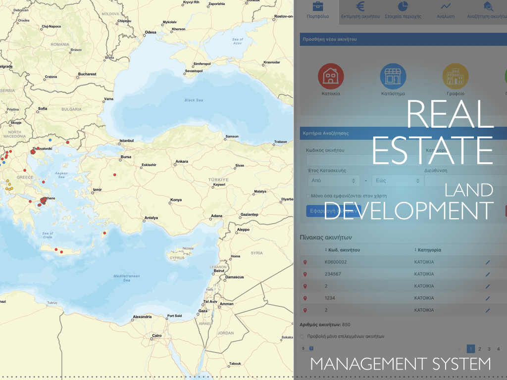
In the sector of Real Estate GIS system used for
site selection, property valuation, and land development planning. It helps in identifying investment opportunities and managing property portfolios.
We have designed and implemented GIS systems for
Archaeology and Cultural Heritage to support archaeologists to record, analyze, and manage archaeological sites and cultural heritage data. The developed WebGIS applications and a portal provide information to the public in addition to specialized users. All the collected data from the excavation are integrated into the web portal and a virtual tour displays the site online.
KIKLO designs and develops mobile applications using indoor/outdoor positioning technologies and the corresponding event management and monitoring applications.
In this context, a mobile application for sending events and/or requests was developed so that users can share their location in a central Geographic infrastructure. The aim is for the competent agency to take the location of the incident and initiate the necessary actions.
The implemented solution is based on GIS infrastructure, using the positioning capabilities of mobile devices (tablets or mobile phones) outdoors and Wi-Fi fingerprinting technology to determine the location of the event.
Network Analysis field is based on designing, optimizing, and serving routes and service allocation areas.
We have used our expertise in the field of Transportation Planning to analyze transportation networks and optimize routes. In addition, GIS is the main tool for Utility and Infrastructure Management, such as water and sewer networks aiming in maintenance, asset tracking, and service provision. Indoor and outdoor movements patterns and routing services are also our expertise to support disabled persons’ access.
The Disabled persons routing application aims at providing online the location a place (e.g. a classroom), search for the route to it by setting a starting point and of course search for other auxiliary spaces and the routes to them. The application was implemented and configured to provide search for spaces on university campuses and routing to them.
The above-described applications consist of components
that can be used to build multi-variant optimization tools for optimizing supply chain operations, while considering multiple variables and factors.
Such tools can provide to the retailers the ability to select the best locations for new stores and distribution centers, optimizing inventory placement and delivery routes, to the manufacturers to choose raw materials efficiently, choose manufacturing plant locations, and optimize distribution networks and to the logistics companies the tools for route planning, fleet management, and real-time tracking to ensure on-time deliveries.
