Smart Eye Application

SMART-EYE mobile application

SMART-EYE is the mobile application that is the result of the SMART-EYE project and allows the tour of the area of Thermi in various covered archaeological structures using an augmented reality environment with the aim of offering visitors the ``cultural experience.``
Product login-bg-3kiklo-smarteye

We design, build and support clients EU wide.

Location based infrastructure

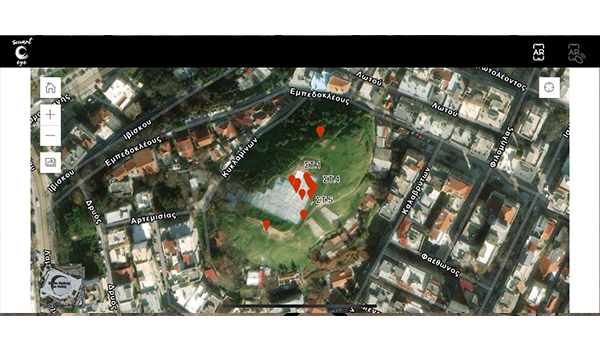
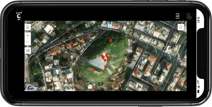
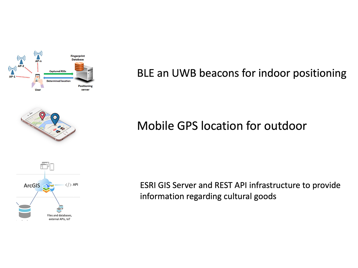
Incorporates location-based technologies to locate the user’s position and highlight possible cultural heritage points of interest nearby.

Cross platform compatible mobile application (Google Play store, Apple store)

The end user mobile application is developed to support both Android and iOS based mobile devices.

Web GIS-based events management infrastructure

A unified web Interface that incorporates Web GIS technology to support the Health and Safety department to interact with the mobile app user

Augmented Reality integrated with GIS

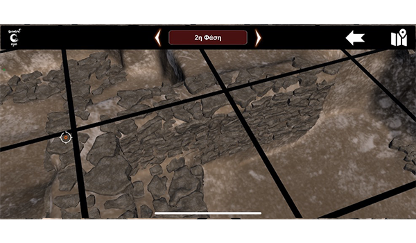
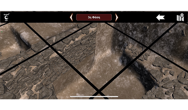
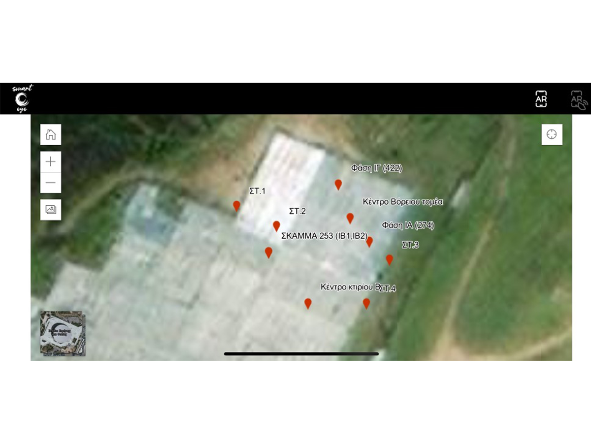
The end user mobile application incorporates the AR, GIS and GPS technology to provide the user with an enhanced environment where the device and application enriches the user’s location with AR point and 3d models presenting the archaeological findings that exist underground.

Customized solutions

We help businesses of all sizes to increase visibility, drive more traffic and improve commercial success

Mobile application for

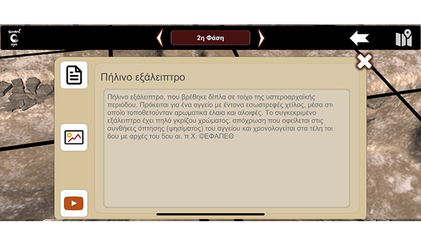
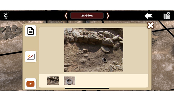
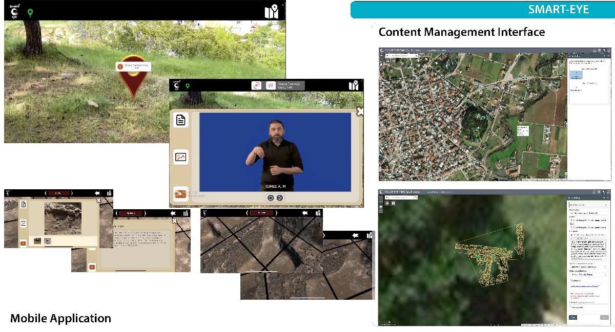
The mobile application provides the ability to the end user to navigate through the map interface and recognize possible points of interest (POIS) around him. Furthermore, user can go from map interface to Augmented Reality environment and navigate the POIS of interest through the camera and real space. The application provides content-based interface to give the user access to photos, video and text and the functionality to augment 3D objects on the camera and reality space.

The application can be additionally supported of an external high accuracy GPS system for enhanced implementation.
Powerful framework

App manager

Simple functionality

Product mockup2-hor-smarteye-new

Custom design

Tight security

Custom typography

All in one management system

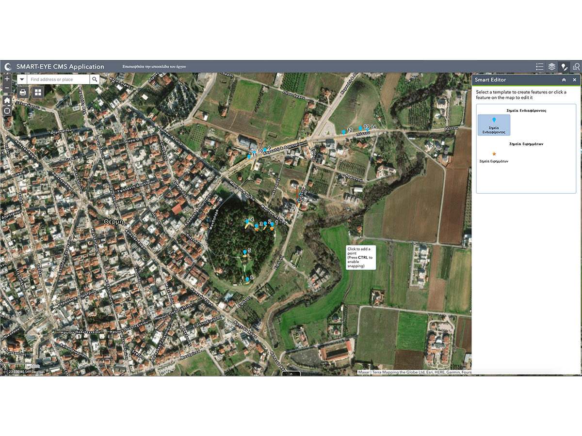
The information and content that is loaded on the mobile application is recorded, maintained, and produced using the central Geographic information and content management system.

The user creates the points of interest on the map, describes the POI, the 3D models and phases of the archaeological area and assigns on the POIS the appropriate content. The system’s output provides the mobile application with the respective points and content.
Performance

The mobile application is optimized to manage multiple 3D models, and content in one unified environment.

Easy to use Interfaces

Βoth the mobile application and the management system do not require expert user skills. The user navigates easily from map to 3D augmented environment.

Product W1-smarteye-tab-hor-600-350px
Product W2-smarteye-tab-hor-600-350px
Product W4-smarteye-tab-hor-600-350px
Product W3-smarteye-tab-hor-600-350px
Product W5-smarteye-tab-hor-600-350px

Compatibility

The end user mobile application is developed to support Android and iOS platforms.

Accessibility

Location based technology uses the best location acquisition mechanism, GPS, indoor positioning or wifi and cellular location correction is used to get the best location every time. Additional hardware can be used for high GPS accuracy.

Download mobile app

A native app for every platform. With an all-new look and powerful features, SMART EYE is the best way to ensure success for your goals.